Mount Yale, is an amazing hike, I’m not sure why I waited so long to climb it! After hiking 14ers all over Colorado and all of the other Collegiate Peaks, I have plenty to compare it to…
HIKE A FOURTEENER THIS FALLI’ve spent a lot of time hiking 14ers and would rank Mount Yale as one of my favorites! Access is easy, there is plentiful parking, the trail is easy to follow and well maintained, the scenery is varied and gorgeous from start to finish, and there are lots of ways to turn this into an overnight backpacking adventure if you’re so inclined.
The Denny Creek Trail
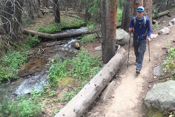
The Denny Creek Trail begins right in middle of the parking lot. Right from the beginning there is a lot to see. Just a few hundred yards from the trailhead there is a small trail that branches off to the site of an old mill. It’s worth the short hike to check out these remains, but wait for your return trip. The first mile or so of the trail is wide and meanders through spruce and fir forests with an occasional sweep through stands of aspen. You’ll find yourself climbing gradually, and steadily, up as you hike through dense stands of trees. There are times when the quick flowing mountain streams are just inches from the trail and other times when you don’t even know they exist. The first mile of this well maintained trail is a good warm-up for the steeper sections to come.
After about a mile you’ll weave back and forth across the creek before reaching the junction of the Mount Yale and Hartenstein Lake trails. Log bridges make navigating the creek crossings easy. There are several great camping sites in this area, and more if you continue hiking towards Hartenstein Lake.
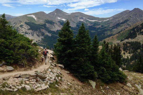
Take the trail that forks to the right, it will lead you up to Mount Yale. It begins to climb quickly from here, but continues to be very well maintained. Stone steps and switch-backs were well planned and built in the steepest sections. As you climb, sweeping views of the Denny Creek Valley begin to unfold to the north. To the south, majestic views of Mount Harvard and Mount Antero start peeking out. Follow the well-defined trail to about 13,200 feet where you’ll find a last steep push to a saddle just below 14,000 feet. The last couple hundred feet of gain takes a little bit of route finding as you pick your way between cairns. There is a scrambly ridge that can you can also follow directly to the top.
The Summit
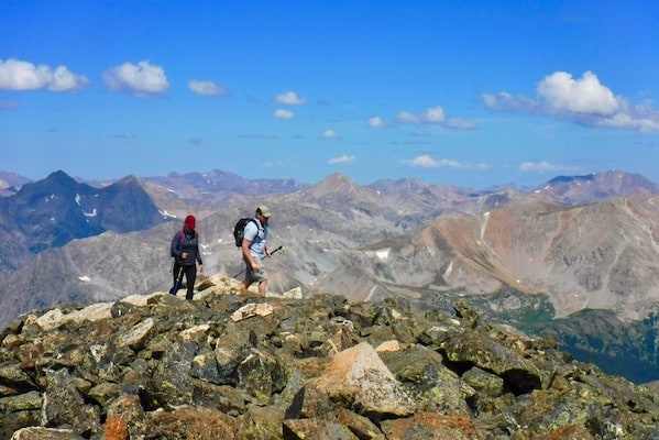
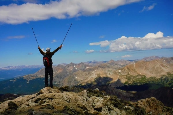
Once at the top, celebrate your success and take in a full three-hundred sixty-degree view of 14ers. The list to the north includes the Collegiate Peaks as far as Mount Elbert, the highest in Colorado. Directly to the south is Mount Princeton, and on a clear day the Crestone Peaks can be seen in the distance. Pikes Peak can be seen to the east. To the northwest, the Elk Mountain group near Aspen is visible and far to the southwest the peaks of the San Juan Mountains can be made out. These views will inspire you dream of many more adventures hiking 14ers.
Trailhead Access for Hiking 14ers
Trailheads to many of Colorado’s 14ers require four-wheel drive and high clearance vehicles. You’ll bounce down miles of gravel and dirt roads just to park with your car half in a ditch. Not the case at Mount Yale! The Denny Creek Trailhead, start of the standard Southwest Slopes route, is just twelve paved miles west of Buena Vista on County Road 306. There are thirty or more parking spaces, with more overflow parking nearby.
Camping
There are many campsites for backpackers along the trail. The close ones would be great for new backpackers who want to carry their packs in and then have a shorter day hike to the summit. Most of these sites are on the eastern side of the trail and creek. Look through the trees to the right as your hiking up the trail and you’ll see many clearings back off the trail. Also watch for small foot paths veering off the many trail and simple log bridges crossing the stream.
For more experienced backpackers, head to Hartenstein Lake for beautiful views and a little more seclusion. You’ll have to backtrack to get to the junction to Mount Yale, but it would be worth it, if you’re making a weekend adventure! All camping is in wilderness areas and has special regulations attached to it. See the Planning and Preparation section below for more details.
Planning and Preparation
While the hike to Mount Yale is accessible to most people, it’s important to remember that hiking14ers is strenuous and can be dangerous! Always plan and prepare well for an adventure like this. Research the route on 14ers.com, or a similar site, to find maps, detailed trip reports, and current conditions. Always wear appropriate clothing and footwear. Carry hiking essentials including food and water, rain gear, first aid kit, safety equipment, a map and compass, and sunscreen. Leave early enough to reach the peak and be back below tree-line before the danger of storms and lighting. Also, let others know you are going and when you plan on begin back. Make sure that they know how to contact appropriate emergency response agencies if you don’t return.
Hiking 14ers in the backcountry is a wonderful privilege that we have. Most of the Denny Creek and Mount Yale trails travel through designated Wilderness Areas. Be sure to practice Leave No Trace techniques and follow special regulations that the USFS has for these areas. There’s a lot that goes into ensuring that we don’t damage this amazing resource. If you’re new to backcountry adventures hire a guide or find experienced friends to teach you.
Hiking 14ers In Colorado
Book your custom crafted Colorado experience with Next Adventure Company for a hassle free vacation in Colorado.
GET A FREE QUOTE

